Distance detector
Distance Locator
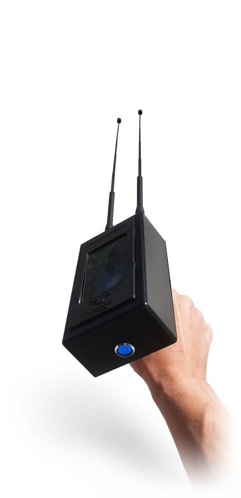
Portable distance detector with two antennas and a touchscreen. Three scanning modes: gold, silver and voids.
AuAg∅
 Future DetectTechnology
The georadar sends electromagnetic pulses into the ground and records their reflections. The result is an image of layers, objects and voids, without digging.
The device moves over the ground and records the reflections. On the radargram each object appears as a curve.
The diagrams are schematic. Photos and radargrams of the model will be added by the company.
| Function | Subsurface imaging using reflections |
|---|---|
| Result | Radargram |
| Model | To be provided by the company |
| Scan depth | To be provided by the company |
| Display | To be provided by the company |
| Battery life | To be provided by the company |
| Weight and dimensions | To be provided by the company |
| Warranty | To be provided by the company |
Performance depends on soil type and moisture. The devices show readings and do not guarantee finds.
Portable distance detector with two antennas and a touchscreen. Three scanning modes: gold, silver and voids.
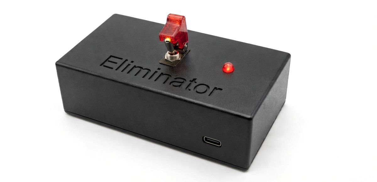
Compact device with a safety switch, a red indicator light and a USB-C port.
The fourth model in the range will be announced soon.